This is a 3-day itinerary for Miyakojima. The itinerary covers three full days and includes some of Miyakojima’s absolute highlights, like the stunning beaches, beautiful nature and great local food. Three days is a great length for a stay, and will allow you to comfortably experience the down-on-earth life in the middle of paradise.
Miyakojima, a part of Okinawa Prefecture, is a group of paradise islands located far south of mainland Japan. It is just a few hundred kilometers off the coast of Taiwan. The island group consists of Miyako island, Kurima island, Irabu & Shimoji islands and Ikema island. These beautiful islands, covered in fields of sugar cane and tobacco, are famous for their pristine beaches, superb snorkeling and high chances of spotting sea turtles.
3-day itinerary Miyakojima
Day 1
| 09:00 | Higashi-Hennazaki Cape |
| 11:00 | Imgya Marine Garden (swim/walk) ?️ |
| 13:00 | Utopia Farms |
| 14:30 | Maehama Beach (swim) ?️ |
| 16:00 | Kurima Bridge |
| 16:30 | Kurima Island exploration |
| 21:00 | Stargazing |
Day 2
| 09:00 | Sunayama Beach, morning swim ?️ |
| 10:00 | Botanical Garden & Crafts Village |
| 12:30 | Irabu bridge |
| 13:00 | Makiyama observation deck (Irabu) |
| 13:30 | Nakanoshima beach (snorkeling) ?️ |
| 15:00 | Obi-Iwa Belt Rock Monolith |
| 15:15 | Toriike pond |
| 16:00 | Runway 17-end |
| 16:30 | Cape Shiratori-zaki park |
| 17:30 | Funausagi Banata observation deck |
| 18:30 | Yamatobu Crag |
Day 3
| 09:00 | Shimajiri mangrove forest |
| 10:00 | Miyakojima Aquarium |
| 12:00 | Nishihenna Cape |
| 13:00 | Ikema bridge |
| 13:30 | Ikema Drive-in (Ikema) |
| 14:00 | Ikema Heart-rock |
| 14:30 | Ikemajima Lighthouse |
| 15:00 | Ikema wetlands observation platform |
| 16:00 | Funakusu Beach (swim) ?️ |
| 17:00 | Ikema Whale Rock (next to beach) |
Planning a trip to Miyakojima
Flights
Miyakojima airport (MMY) is connected to several major cities around Japan. It is possible to fly in from Tokyo, Osaka, Nagoya, Fukuoka and Naha.
Transportation and airport transfer
It’s highly recommended to rent a car if you are only staying for a weekend. It’s the easiest, fastest and most practical way to get around the island. If you are not renting a car, then check with your hotel if they offer airport pickup. Alternatively it’s possible to hire a taxi at the airport.
Cheap Car Rental in Miyakojima
Accommodation
Hotel Recommendations for Miyako island
Miyakojima Veronika (budget)
If you are looking to travel on a budget, then Veronika guest house could be something for you. The hotel is located a bit north of Hirara, away from the touristy areas. Prices are almost as reasonable as on the smaller islands. There are free bikes and free wi-fi available.
Book now
Hotel Sea Breeze Casual (mid-class)
Hotel Sea Breeze Casual is a nice 3-star mid-class hotel, located on the southern coast of Miyako island. The rooms are modern and clean. There is a pool, souvenir shop, restaurant and laundry facilities. It’s a great place to stay as a couple of a family, if you want to be near the sea.
Book now
Shigira Bayside Suite Allamanda (Luxury) Recommended
The beautiful 5-star hotel of Shigira Bayside has huge, amazing suites overlooking the east-china sea – some with private pools. The hotel has a private beach with snorkeling and canoeing. There is also a spa and an amazing restaurant, Maralunga.
Book now
Find more hotels in Miyakojima
Tours and Experiences of Miyakojima
- Stargazing & Nighttime Jungle Tour at Miyakojima
- Pumpkin Cave Tour with Snorkeling or SUP or Canoeing
- Half-day or 1-day snorkeling with SUP or Canoeing
- Snorkeling with Turtles in the Blue Sea of Miyakojima
- SUP Experience at a breathtaking beach on Miyakojima
- Experience the Natural Aquarium of Miyakojima sea
- Caving in Miyakojimas Pumpkin Cave
- Miyakojima Adventure: SUP or Canoe, snorkeling, caving
Restaurant suggestions
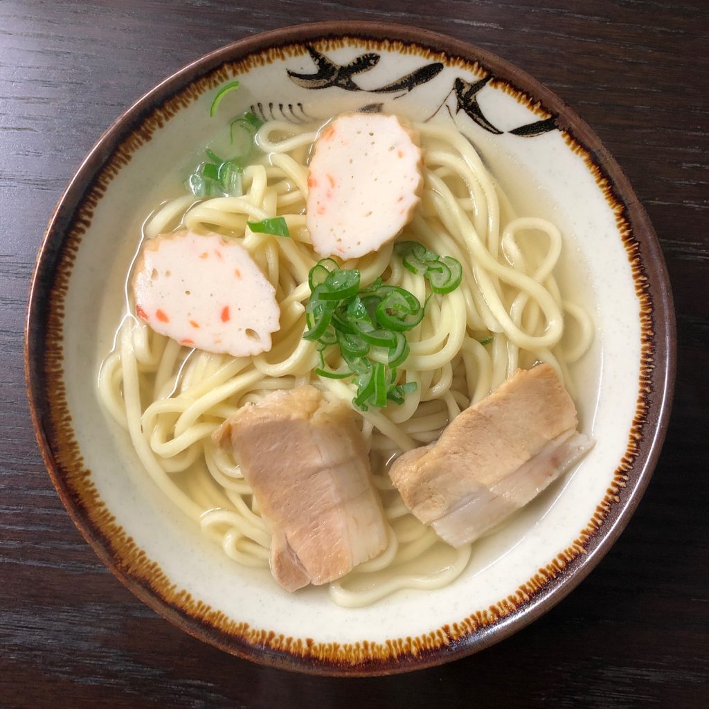
Miyakojima has a lot of great, local food you must try when exploring these pristine paradise islands. Miyako specialties you can’t miss are: Miyako Soba, Miyako Beef, Fresh mango and papaya, Mozuku sea weed, Goya chanpuru and of course a local awamori to wash it down. Don’t miss the local snow salt either!
Find Restaurants
- Maruyoshi shokudou (miyako soba)
- Kojasobaya (soba, katsudon, curry…)
- Goya (izakaya with okinawa cuisine, including Goya dishes of course)
- Kikuei Shokudo (classic lunch kitchen)
- Find more restaurants on on tabelog.
Itinerary Details
Details of day 1
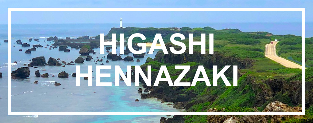
Higashi-Hennazaki CapeHigashi-hennazaki is a narrow, 2km long (1.24mi) cape which extends out of the eastern side of Miyako island. The cape has the Pacific Ocean on one side, and the East China Sea on the other. Along the coast line of the cape are large rocks, scattered in the mesmerizing blue water. At the tip of the cape, a slim and elegant, 24.5m tall, white lighthouse protrudes from the ground. The cape is designated a national place of scenic beauty. Location: see map. |
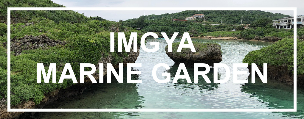
Imgya Marine GardenImgya Marine Garden is a small, protected area of water (almost like a natural harbor) and is ideal for snorkeling – especially for beginners. There are also some beautiful walking trails which can be enjoyed here. The location can be a little tricky to find – there are two beaches with this name. The neighboring resort has a beach which uses the same name – but this is not where you want to go. Instead continue past the resort and past the diving center eastward on route 235. 100m east of the diving center is a parking lot – this is where you can access Ingya Marine Garden. Location: see map. |
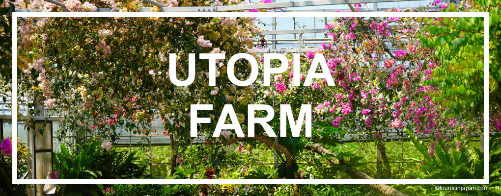
Utopia FarmA fruit and flower farm which is open for tourists. It is possible to walk through parts of the green houses and enjoy the many types of hibiscus flowers and fruit trees. There is a decent sized cafe attached were you can get ice creams, smoothies etc. made with their delicious fruit. It’s a great place to try out some of the fresh, exotic fruit of Miyako. Location: see map. |
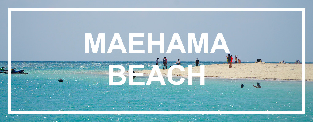
Maehama BeachMaehama beach, located with a view of Kurima Island, is one of the most iconic beaches on Miyakojima. The white, sandy beach is supposed to be 7km long, so despite being the most visited beach on the island, you are likely to find some privacy. Location: see map. |
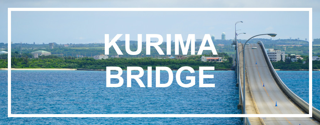
Kurima BridgeKurima bridge connects Kurima island to Miyako island. The bridge is 1’690m. long and opened in 1995. It has a beautiful shape, with a bump on the middle, from where there is a great view over the strait. Read more about the bridges of Miyakojima. Location: see map. |
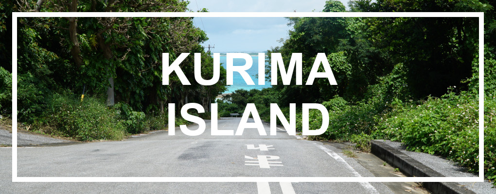
Kurima IslandKurima Island is a small island, located just off the coast of Miyako island. It is quite a remote island, with few inhabitants and visitors. The island is mostly covered by sugar cane and tobacco fields. However, Kurima has some of the most beautiful beaches and views of the Miyako island group. The small and drowsy town on the north-eastern side of the island has a few cafes and souvenir shops for the occasional tour bus which decides to come by. Location: see map. |
StargazingMiyakojima has one of the darkest night skies in all of Japan. It’s the perfect place to gaze at the millions of stars, and dream yourself to other worlds. It’s also a great opportunity for photographers to experiment with night sky photos. Location: away from the city and hotels. |
Details of day 2
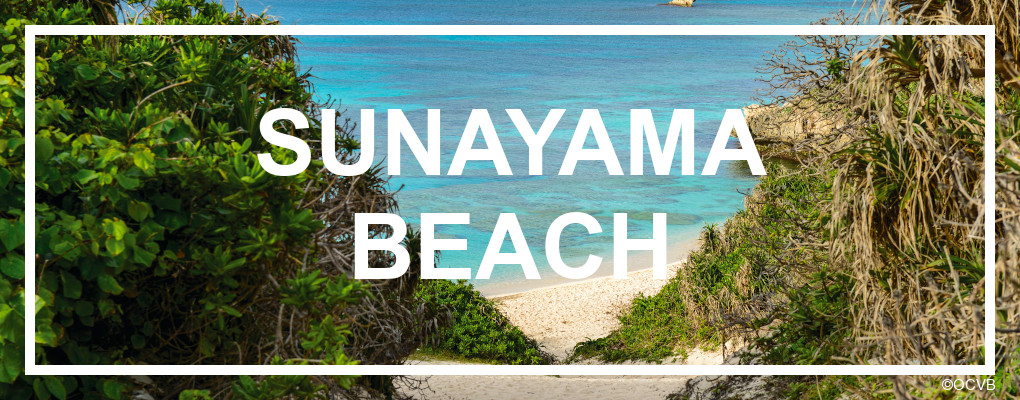
Sunayama BeachThis beautiful white beach, with it’s crystal clear, blue water, takes its name from the sand dune “mountain” which is also found here (yama means mountain). There is a fascinating “gate cliff” on the beach, which gives it a unique look. This beach, on the northern part of the island, is no secret location, and is well-visited all season. Location: see map. |
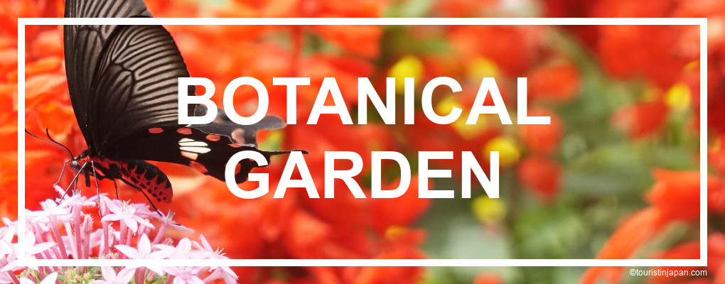
Miyakojima Botanical Garden and Crafts VillageThis 120,000 m² large botanical garden was established in the 60’s. The garden boasts 1’600 species of plants from all over the world. Across the garden is spread a large number of local crafts workshops, which work to preserve Miyako culture. You can experience traditional fabric production, wood carving, ceramic works etc. The garden is completely free to enter. Location: see map. |
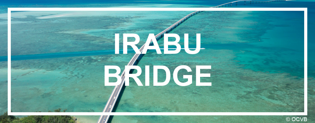
Irabu BridgeThis 3’540m. long bridge connects Miyako island and Irabujima. The bridge opened in 2015, and is probably as close as a bridge ever comes to being art. It curves its way over the water like it is a natural feature. Before crossing the bridge, stop at the parking lot on the Miyako side to enjoy the magnificent view. Location: see map. |
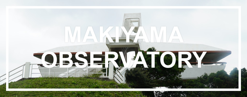
Makiyama Observation DeckMakiyama observatory, which is shaped like a bird, overlooks Miyako island and is the only place where you can see both Irabu bridge, Kurima bridge and Ikema bridge at the same time. The mountain on which it sits, is named after the Maki bird (grey-faced buzzard) which comes here in the fall to rest before moving on. There is also a nature trail near the observatory. Location: see map. |
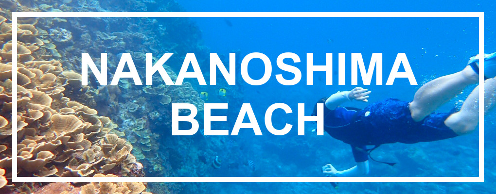
Nakanoshima BeachNakanoshima beach is an amazing snorkeling location. While the beach is not ideal for sunbathing, it does have an incredible coral and fish life. Nakanoshima is probably one of the best beach-access snorkeling spots in all of Miyakojima. Location: see map. |
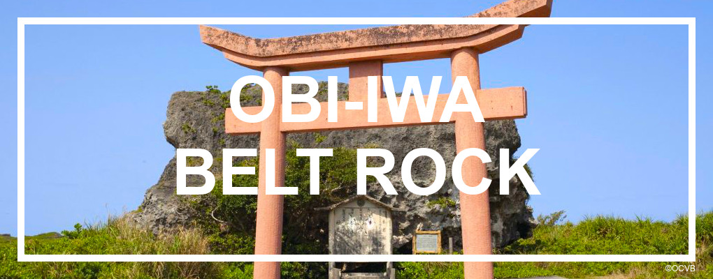
Obi-Iwa Belt RockThis gigantic rock is supposed to have arrived here with the tsunami that hit Miyako in 1771. It is fascinating to stand next to this massive natural feature, and imagine the ocean moving it. Over the years, the stone has become a place of prayer for good fishing. Location: see map. |
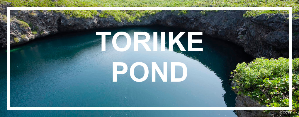
Toriike PondToriike Pond is on the cover of many brochures in Miyako, and for good reason. It is truly a beautiful, natural area. There appears to be two separate ponds, however they are connected underground. There is also an underwater cave associated with the pond, which has made it a highly regarded diving spot. The spot is designated a Natural Monument of Okinawa – and it has a legend of a mermaid! Location: see map. |
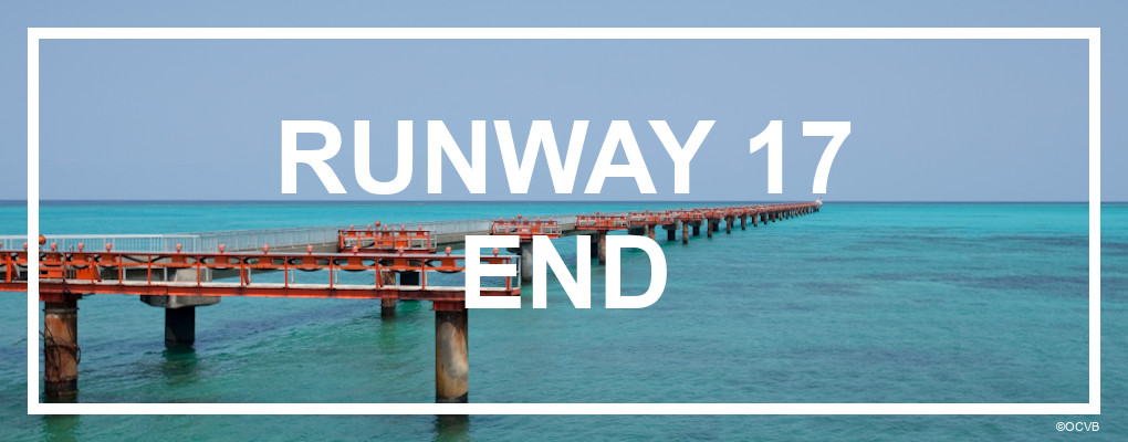
Runway 17 endThis is a fun spot on Shimoji island. At the northern end of the airport runway, a road wraps around the edge of the tarmac and allows you to come really close to the runway. You can get an up-close view of the light-guide which is installed over the water, to guide the planes in. While Shimojijima airport isn’t used so frequently yet, you might still be able to see a plane land if you are lucky. Location: see map. |
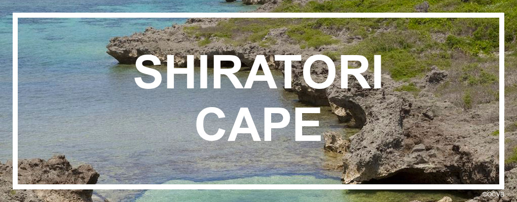
Cape Shiratori-zaki ParkThis beautiful area is a great place to go on a little nature walk and enjoy some of Irabus nicest coast line. There is a network of small paths to be found here. Location: see map. |
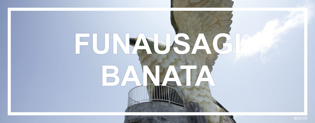
Funausagi Banata Observation DeckFunausagi Banata is the second observatory in the shape of a bird. In fact, it is the same type of bird as the observatory on Makiyama – however a little more realistic representation this time. Funausagi Banata means “cliff for seeing off a ship” and hence would be the place where you would say farewell to a ship leaving the island (probably because it’s so high). Location: see map. |
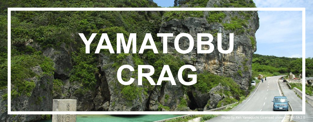
Yamatobu CragYamatobu is a massive boulder of 25m x 18m and it is really hard to miss. You can’t drive past it without wanting to stop. The rock looks beautiful with the turquoise water under it and covered in lush greenery. The stone is thought to have marked the entrance to an area where the first people on Irabu settled. Location: see map. |
Details of day 3
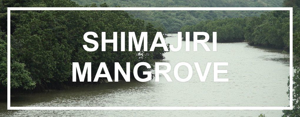
Shimajiri Mangrove ForestA beautiful Mangrove forest, located on the northern cape of Miyako island. There is a nice footpath which makes it possible to enjoy the beautiful nature and rich animal life of the mangrove. There are high chances of seeing mudskippers and herons. The walk won’t take much more than 20 minutes. Location: see map. |
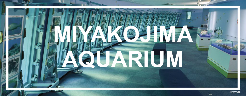
Miyakojima AquariumIf snorkeling or diving isn’t really your thing, but you still want to experience the magical sea life of Miyakojima, then head to Miyako Aquarium. Here 24 large windows are placed in an under-water bunker out in the sea, so you can enjoy the real, untouched marine life. It is a very unique experience if you aren’t used to diving. Even if you don’t normally like aquariums, this place might still be something for you because of the different approach to showing marine life. Location: see map. |
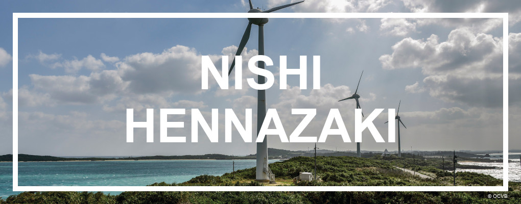
Nishihenna CapeA long, beautiful cape extending from the northern tip of Miyako island. Three large wind turbines are installed on the cape, harvesting the strong winds blowing across the sea. There are parking facilities near the tip of the cape, making it easy to explore the beautiful landscape. Location: see map. |
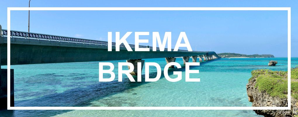
Ikema BridgeThe 1’425m. long bridge to Ikema is a work of art. With its elegant bump on the middle, it has connected Ikema island to Miyako island since 1992. It is best viewed from the Ikema Island drive-in. Read more about the bridges of Miyakojima. Location: see map. |
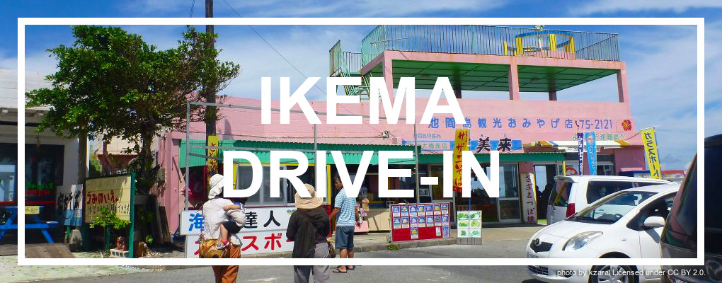
Ikema Drive-inImmediately after crossing Ikema bridge, there is a parking lot with a number of colorful buildings. This is the so-called Ikema “drive-in”, a rest-stop where locals sell souvenirs, food etc. It is a really nice place to grab a snack, and enjoy the fantastic view of Ikema bridge and the turquoise water. There is a nice sand beach just below the drive-in area. Location: see map. |
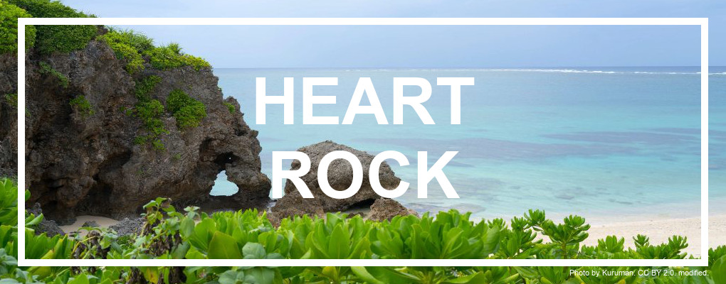
Ikema Heart RockOn the islands western side, by Ikizu beach, is a rock formation with a hole shaped like a nearly perfect heart. The “heart rock” as it is called, has become quite an attractions – especially for lovers. The beach itself is definitely also worth a visit. Parking is available. Location: see map. |
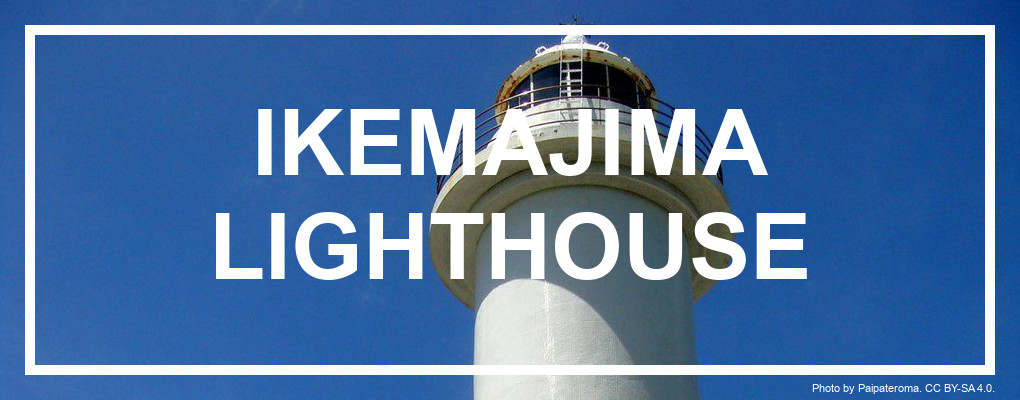
Ikemajima LighthouseOn Ikemas north-western side stands a 22.8m tall, slim lighthouse. Ikema lighthouse was the first lighthouse in the Sakishima Islands when it opened in 1940. It was destroyed during the second world war, but was reconstructred in the 1960’s and completely rebuilt in 1986. The light sits in a height of 41.99m above the ocean. There is no access to the tower for visitors, but it’s still an impressive sight. Location: see map. |
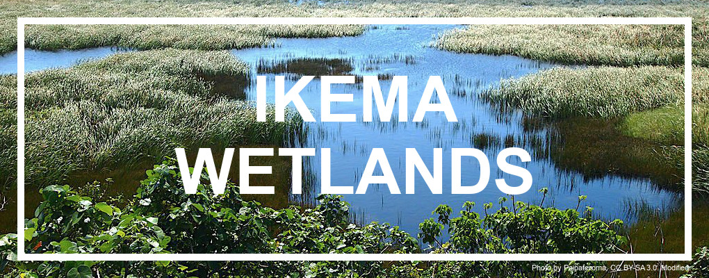
Ikema WetlandsIkema-shitsugen is the largest wetland in Okinawa. The wetland hosts a large number of migrating birds, which like to rest here before continuing their journey. This is one of the reasons why Ikema Wetland and the entire island of Ikema has become a wildlife refuge. Ikema used to be 2 islands, separated by a channel. The channel was gradually closed off from the sea over the centuries for land reclamation. In the 1980’s it was completely disconnected from the sea and the wetlands now stand as a unique bubble of life in the middle of the island. It is home to several types of crabs, including the huge coconut crab. Location: see map. |
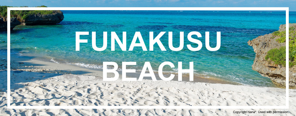
Funakusu BeachThis beautiful beach on Ikema island is a great snorkeling spot, and isn’t overrun by tourists. It makes for a great stop along the way when you explore Ikema, so bring your bathing suit and snorkeling gear. Facilities: Toilets, Parking. Location: see map. |
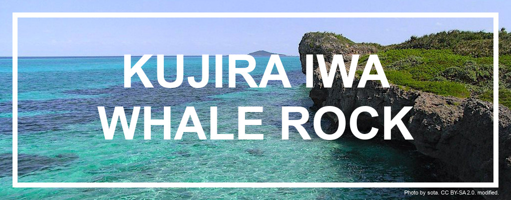
Ikema Whale RockJust south of the famous Funakusu beach is a famous rock-formation sticking out of the coastline. The formation kind-of looks like a whale, and has been named “whale rock” for that reason. It is a fun little side excursion from your beach day at Funakusu. You have to find the right angle to view it, to really see the similarity. Location: see map. |
